
Google Street View currently works in Kuwait but is fairly limited since from what I can tell its one guy who’s driving around Kuwait with a 360-degree camera mounted to the roof of his SUV snapping photos.
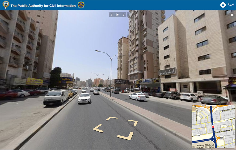
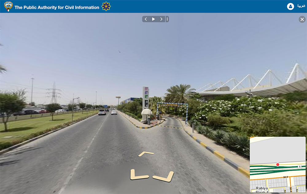
But surprisingly, PACI seems to have a street view of pretty much most of Kuwait on their website. The only issue is it’s not as easy to use as Google Street View. For example you can’t just search for a random place and find it on the map. The process of actually finding a place is pretty tedious. Here are the steps to use PACI’s street view:
- First head to http://gis.paci.gov.kw/Client/EN/Default.aspx
- Click “Quick Search”
- Manually find the street you want
- Click on the street and wait a few seconds
- Once the street view thumbnail pops up at the bottom, click on it
Someone at PACI should really coordinate with Google and see if there is a way to merge their databases together. I’m still impressed though that PACI actually have a street view option.
Thanks Timothy
9 replies on “Street View with PACI Kuwait Finder”
Or you can just use Kuwait Finder mobile application that has it integrated and works really well, including the address search.
Long press on the map will show a street view link/thumbnail.
+1, it work really well and it is powered by PACI
Awesome! Didn’t expect my area to be covered but it was. Looks like shots were taken about 2-3 years ago… a couple of houses/mosques now built around my house are barren lands in the street view.
In some shots you can even see the shadow of the van with a camera mounted on top.
There were some shots were the car is visible (it wasn’t a van) and the rooftop is half open and you can see the driver wearing a ghetra.
PACI or google maps? Google Maps guy has white SUV with sunroof
(Here Maps) have a car with the entire street mapping setup and the huge ball on the roof. I usually see it driving around Ahmadi and on the 40.
i hope they support Apple CarPlay in the next App update
They are using https://www.mapillary.com/ for street-level imagery.